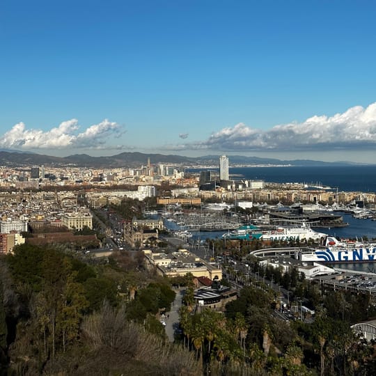
Barcelona and Catalonia will experience a sharp drop in temperatures and widespread rain this Sunday, marking a significant shift after days of unseasonably warm, summer-like conditions across the region.
The change arrives as a cold air mass of polar origin moves into the region. This follows a period of exceptional warmth, with temperatures in Barcelona exceeding 25 °C on both Friday and Saturday, making them the warmest days of 2026 so far. Nights also saw unusually high temperatures, with some areas potentially recording absolute records.
Western Catalonia experienced even higher temperatures, surpassing 30 °C. The Automatic Weather Station (EMA) at Pantà de Riba-roja, in the Ribera d’Ebre, recorded 31.9 °C, marking the first time this year that temperatures exceeded 30 °C.
Saturday will see increasing clouds and a hazy, brownish sky due to rising dust levels. Temperatures will remain well above average, particularly in the west and south, where clouds will become more frequent.
Weather Front Brings Rain and Cooler Air
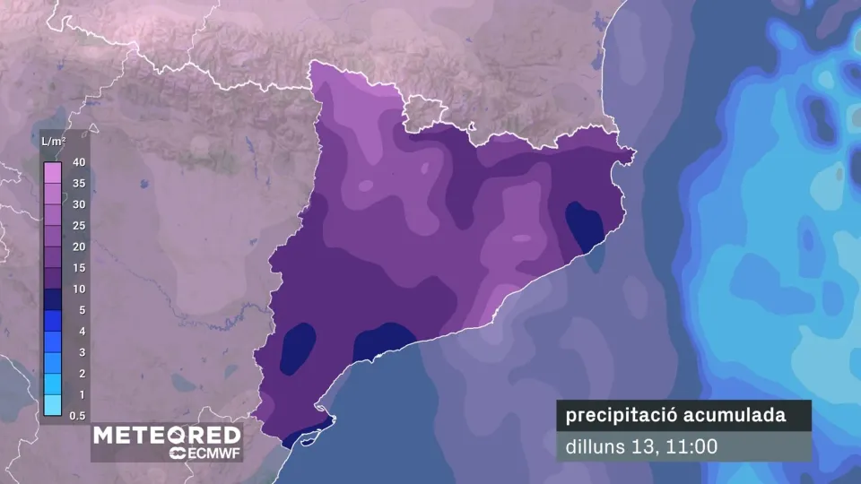
A front associated with a low-pressure system over the United Kingdom will bring a marked weather change on Sunday. The day will remain hazy but with very cloudy skies, and rain will advance from western Catalonia towards the coast throughout the day. This rain is expected to be weak to moderate, affecting a significant portion of Catalonia.
For Barcelona city, rain is most probable from midday Sunday, intensifying particularly from late afternoon and continuing into Monday morning. The combination of the new air mass and reduced sunshine will cause a sharp fall in maximum temperatures. Inland areas and the Pyrenees could see temperatures drop by over 10 °C compared to Saturday’s values.
Significant Temperature Drop for Barcelona
Coastal areas, including Barcelona, will experience a notable but smaller temperature decrease. It will become challenging for temperatures to reach 20 °C. While not a cold snap, these conditions represent a return to more typical weather for the season.
Temporary Relief Before Warmer Trend Returns
This period of normalised temperatures or relative coolness will not last long. From Monday onwards, sunshine is expected to return, and temperatures will gradually climb again over the following days. However, they are not anticipated to reach the extreme values seen this past week.
Nights may remain cooler, with values typical of April for several days. Nevertheless, mild daytime temperatures and warm conditions will quickly reappear by the middle of next week.
Come and join our Barcelona English Speakers community on WhatsApp.
Originally published by betevé. Read original article.